Maps
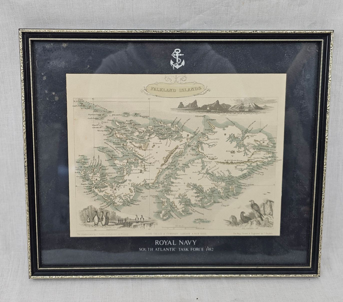
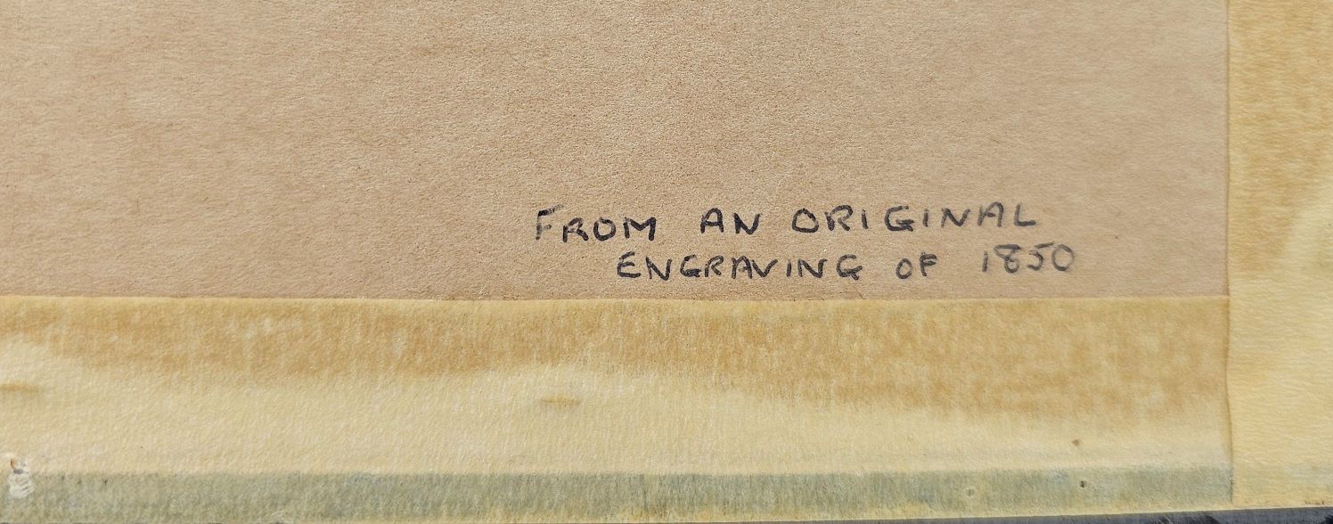
Circa 1851 Map Of The Falkland Isles By John Tallis
£75.00
Availability: 1 in stock
Would you like to find out more about this product?
Enquire about this product
Related products
-
Hausser/Elastolin & Lineol
Circa 1937 Lineol German Radio Scout Car Clockwork Tin Plate Model
£775.00