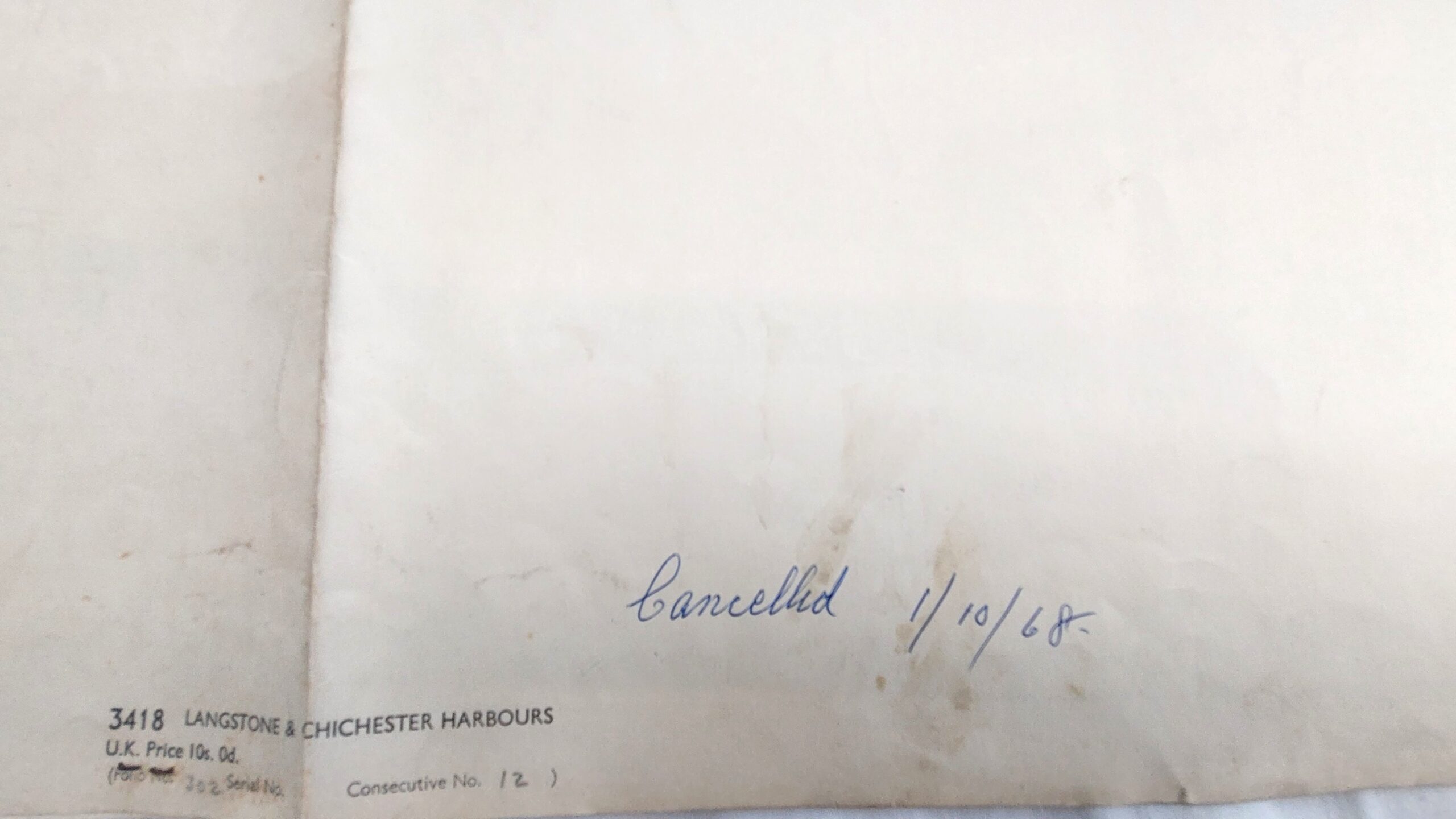
MapsVintage, British Admiralty Chart - Langstone & Chichester Harbours, 3418, Dated 1967
Out of stock
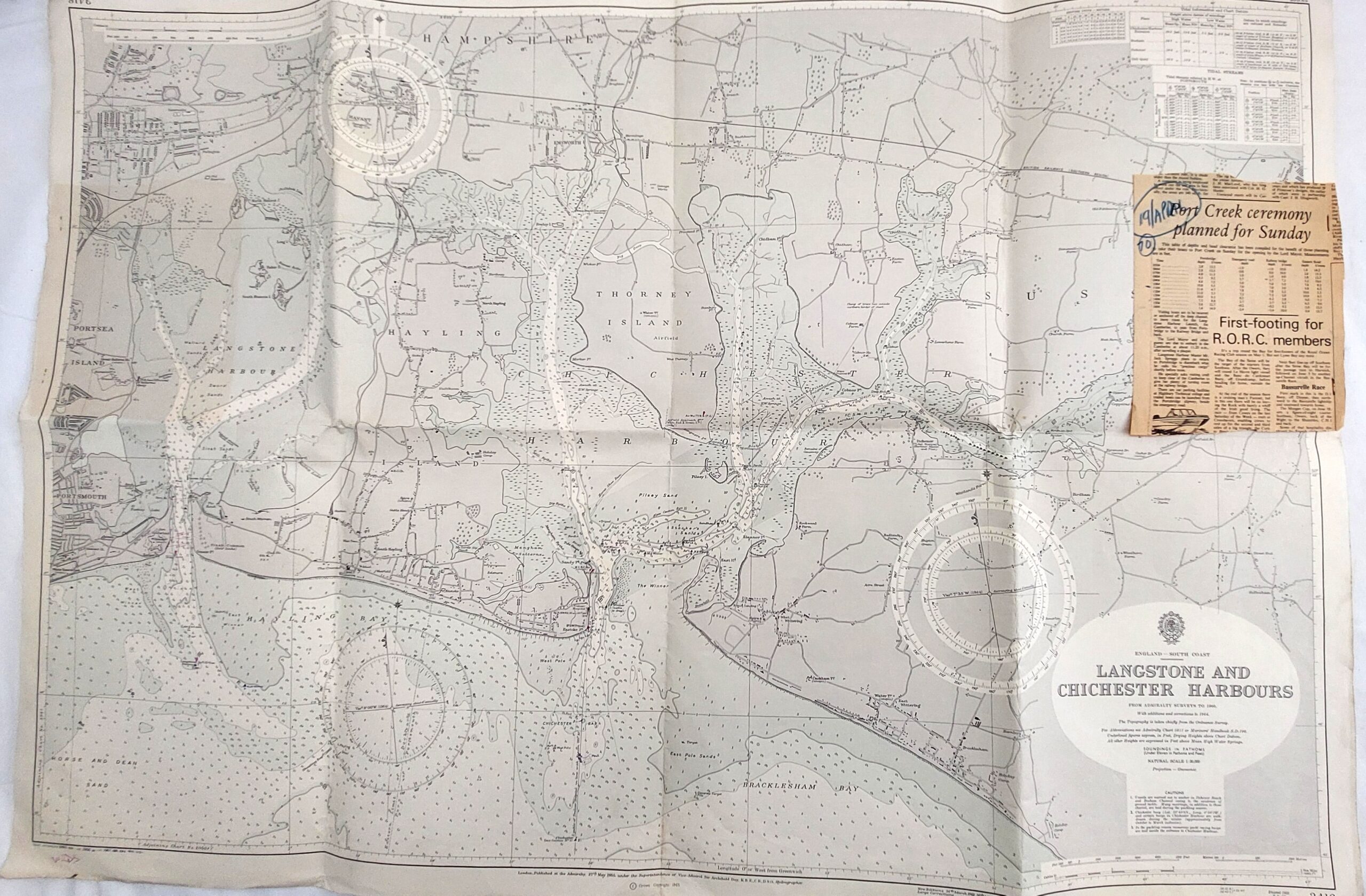
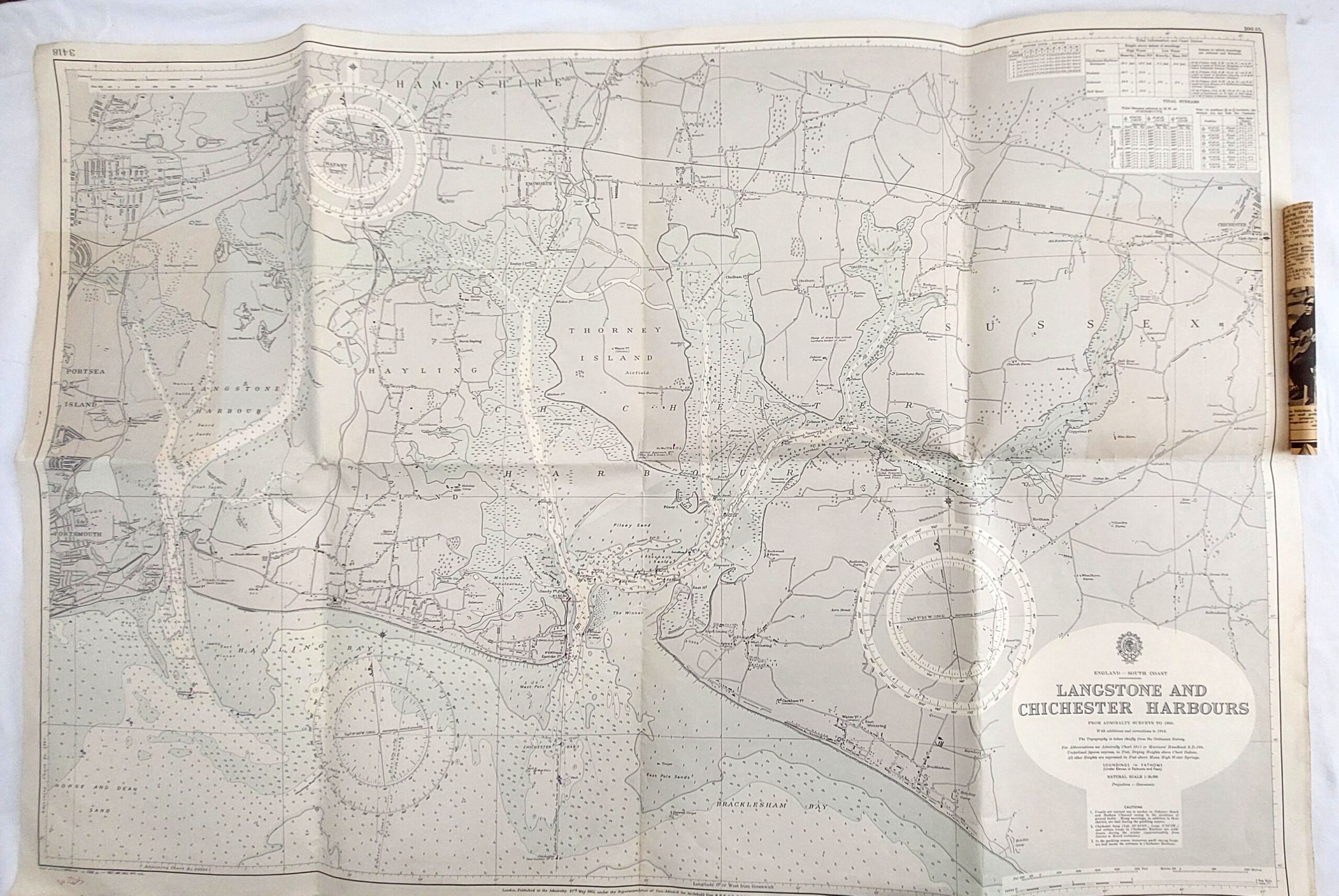
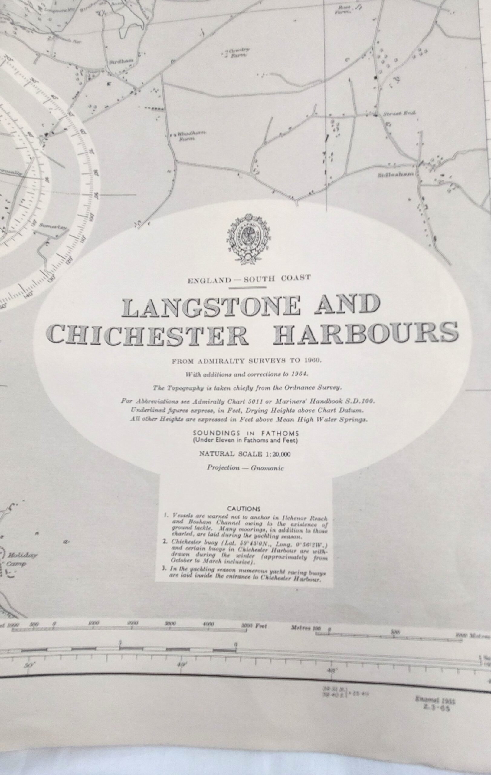
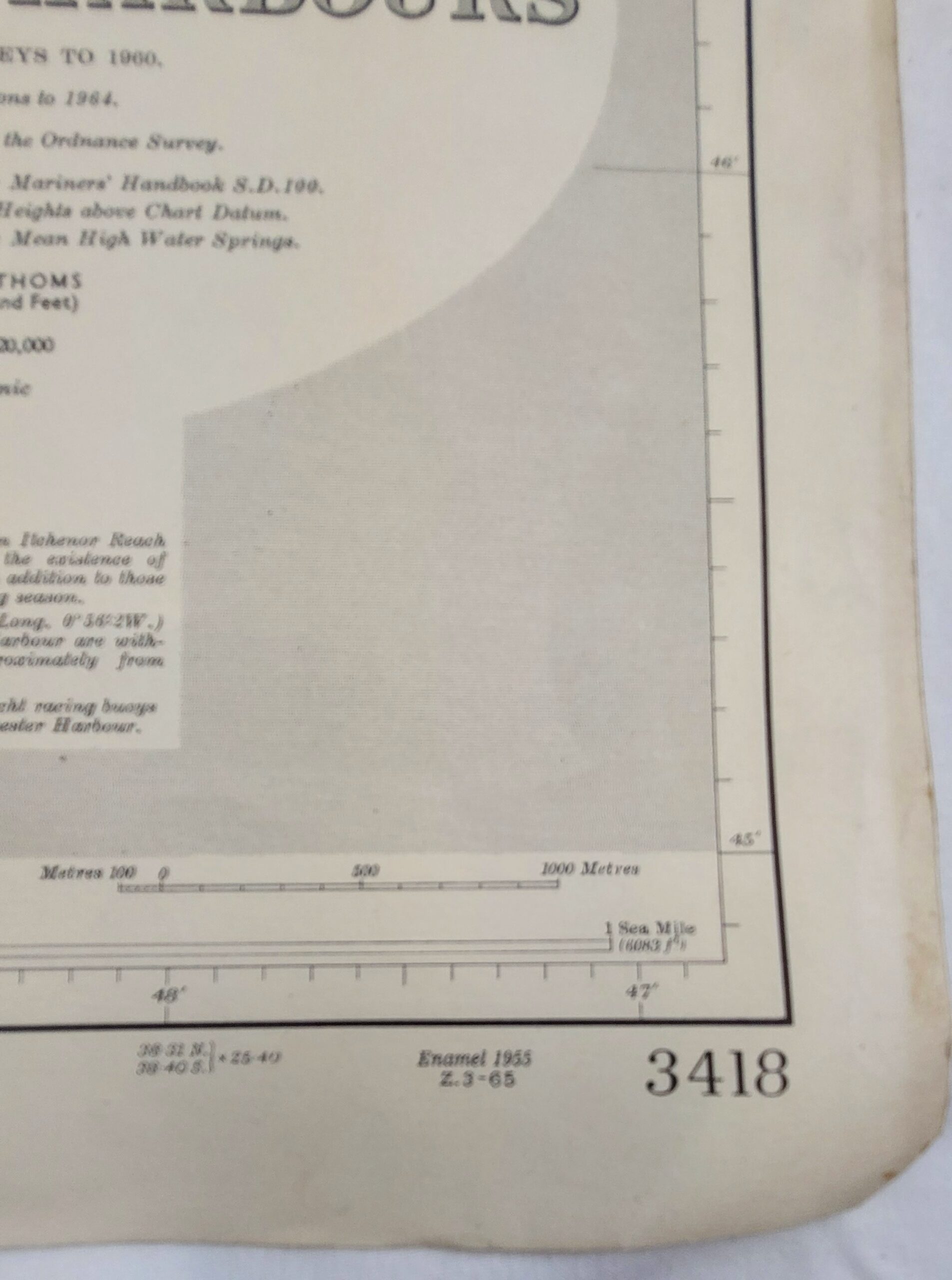
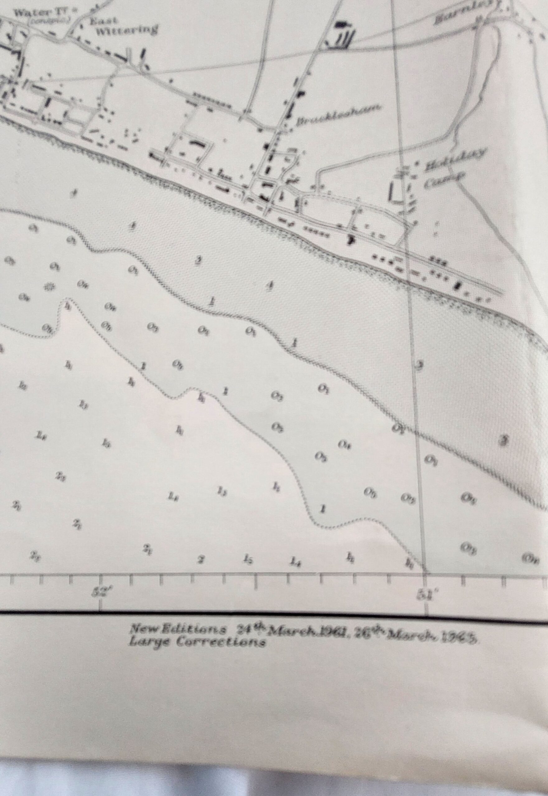
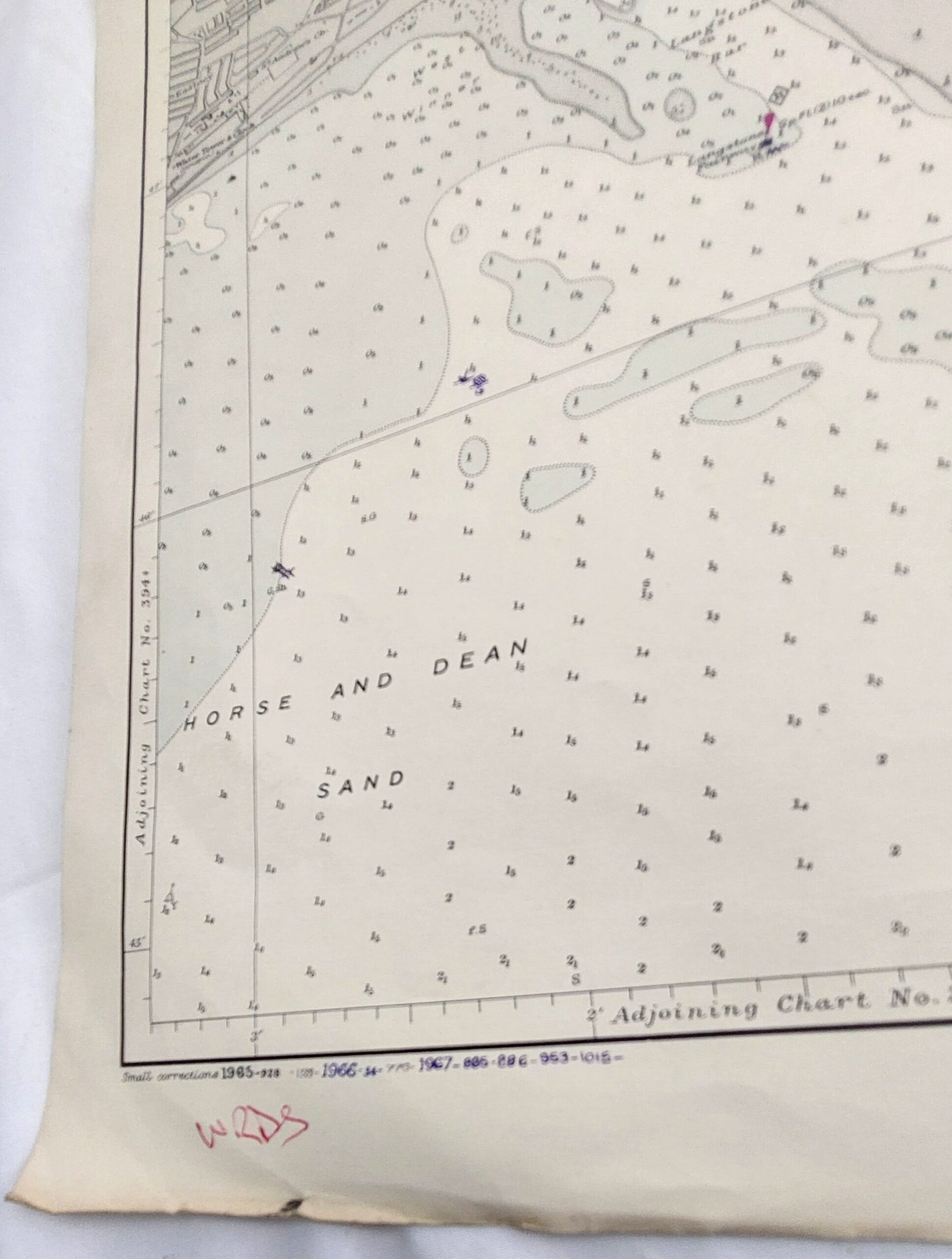
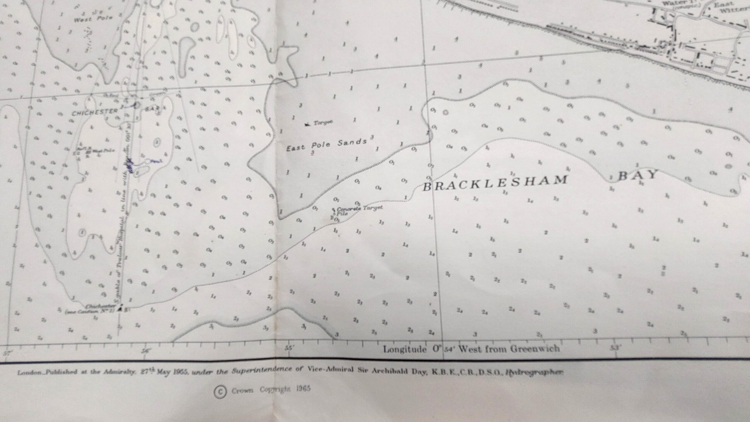
*Vintage, British Admiralty Chart - Langstone & Chichester Harbours, 3418, Dated 1967*
From Admiralty surveys to 1960 with additions and corrections to 1964
London - Published at the Admiralty, 27th May 1955, under the supervision of Vice-Admiral Sir Archibald Day, K.B.E., C.B., D.S.O., Hydrographer.
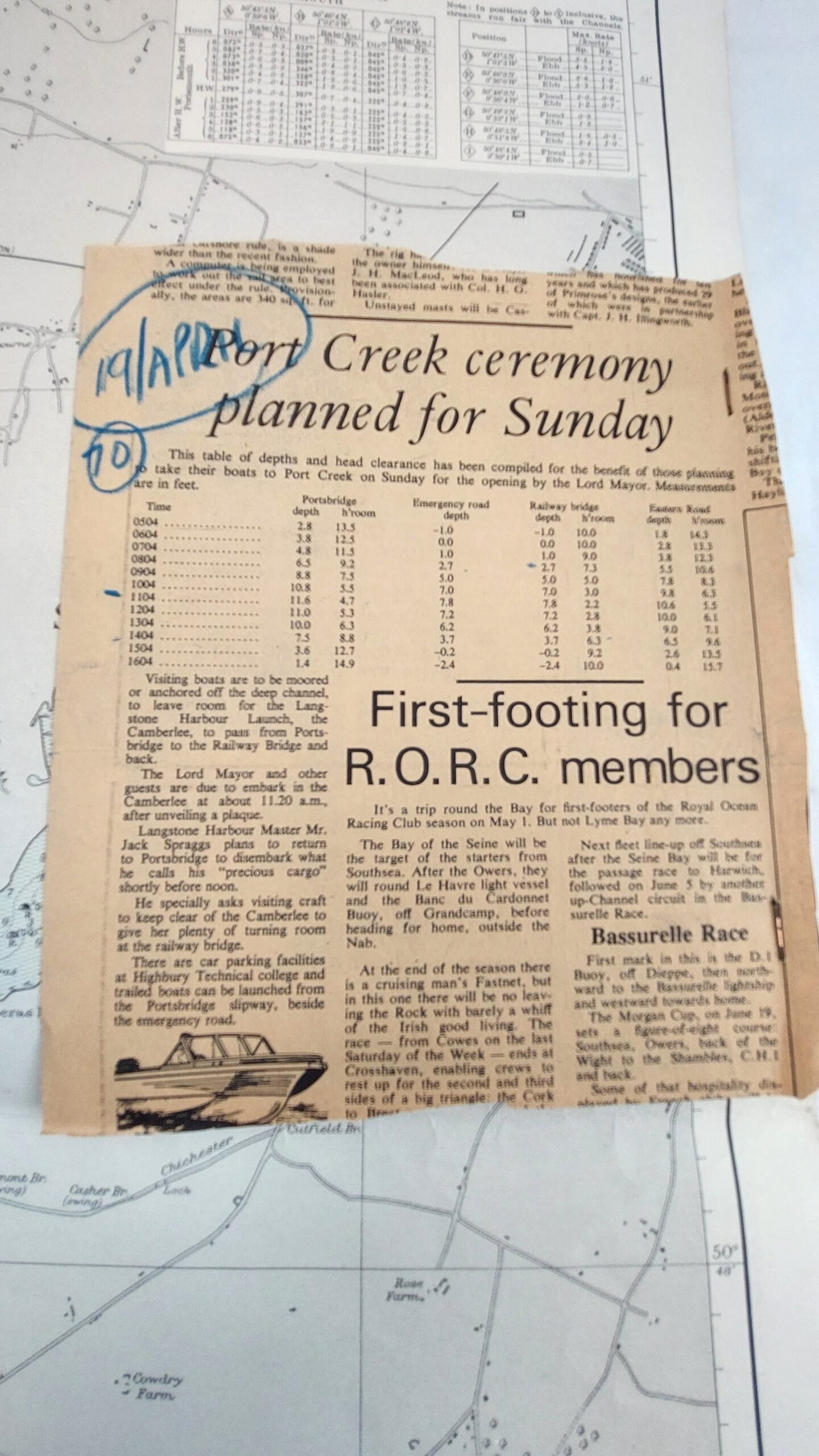
Attached to the map is a newspaper article referencing "Port Creek ceremony planned for Sunday" dated in pen 19/April/70
Approximate measurements: 102.3cm x 70cm
*Condition*
Good used condition. Some age spotting. Please see photographs as part of the condition report.
RQMAOXBO_3843177084