Maps
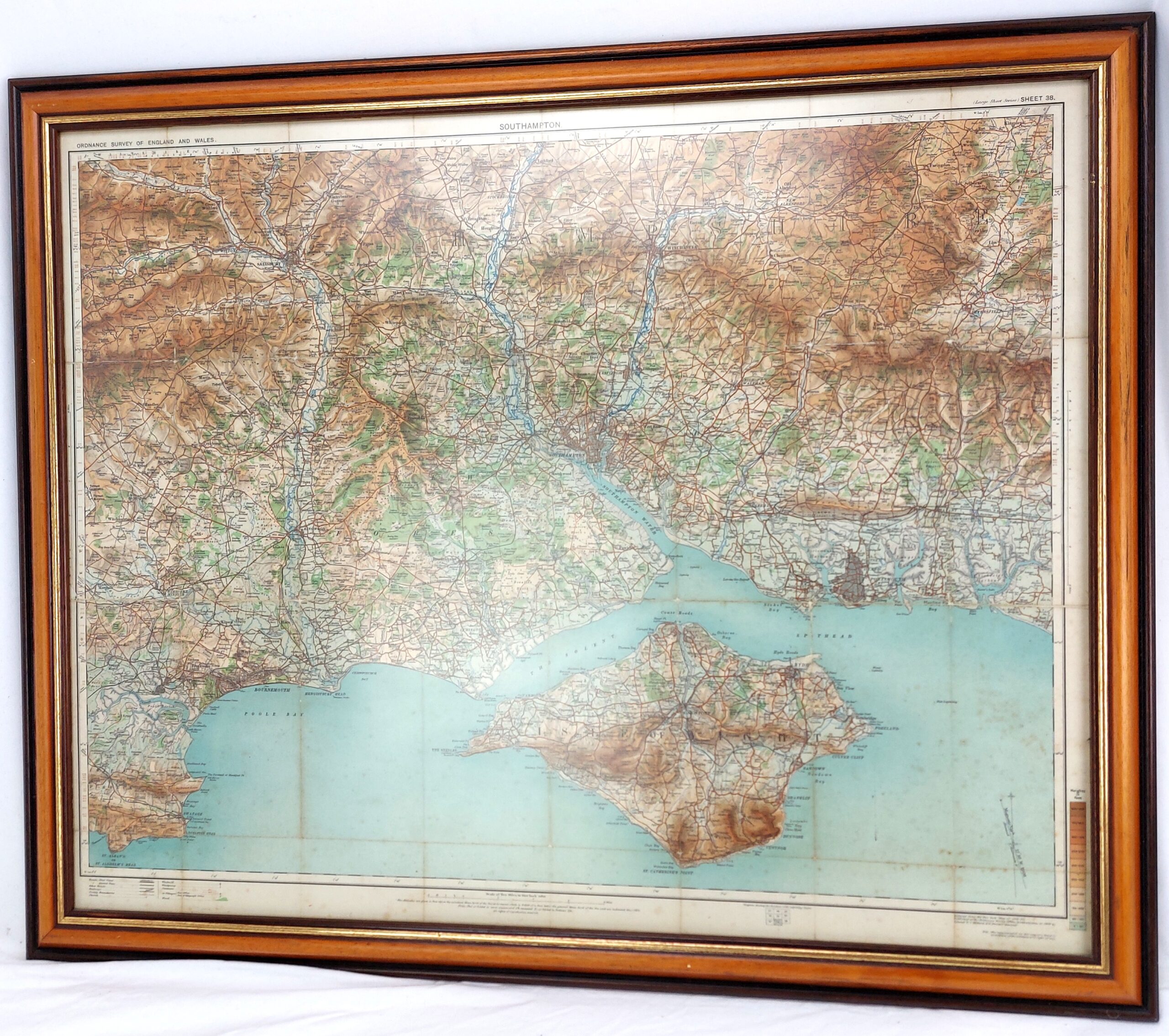
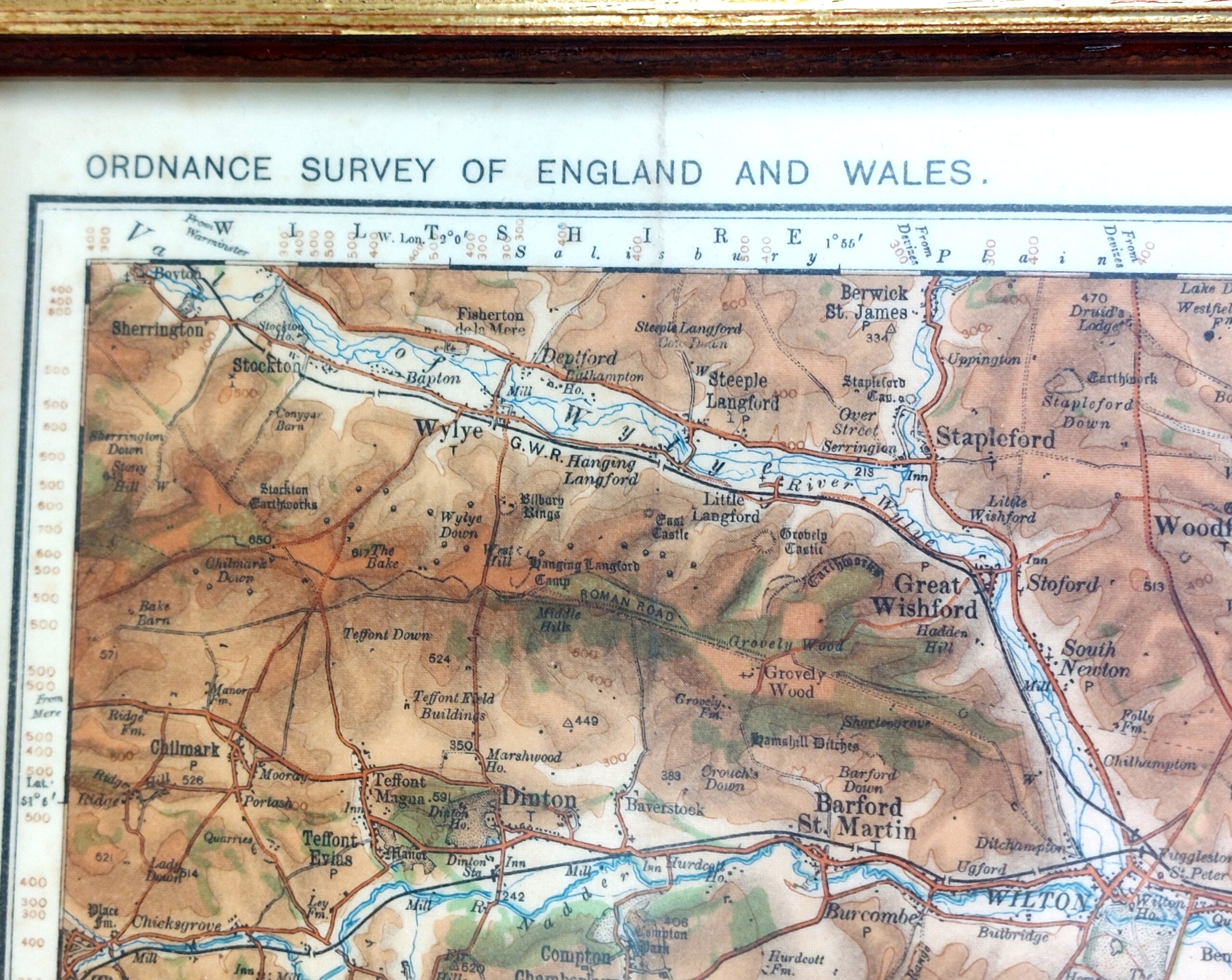
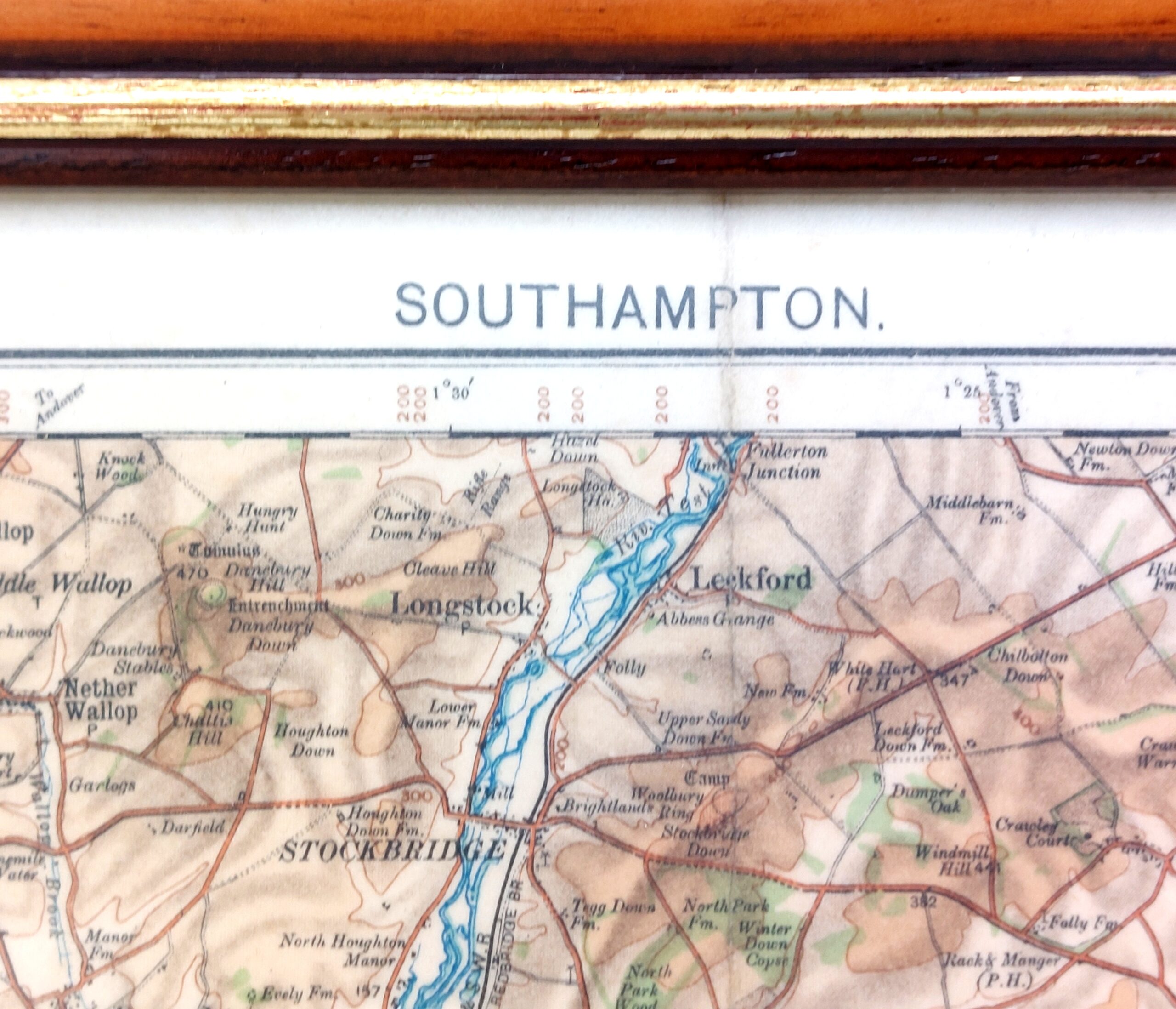
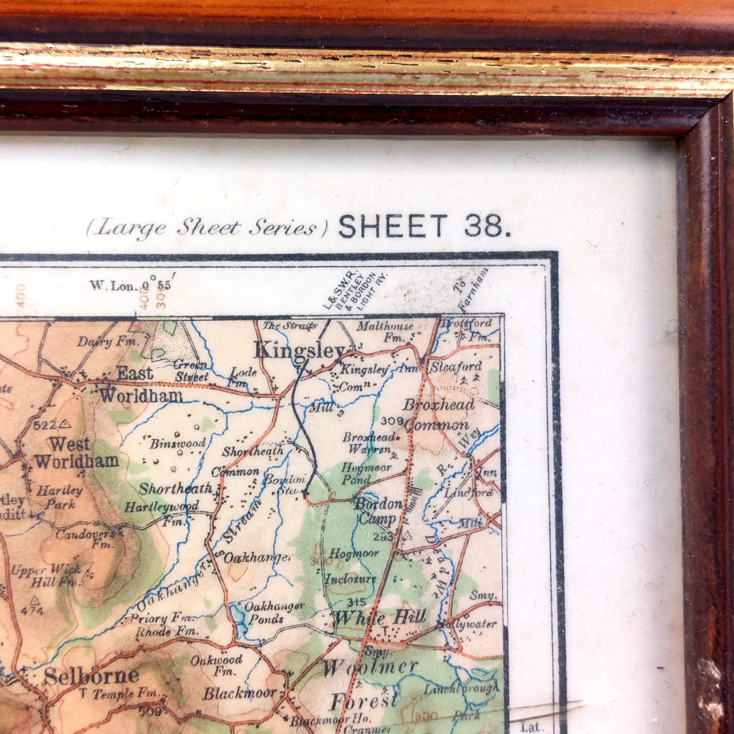
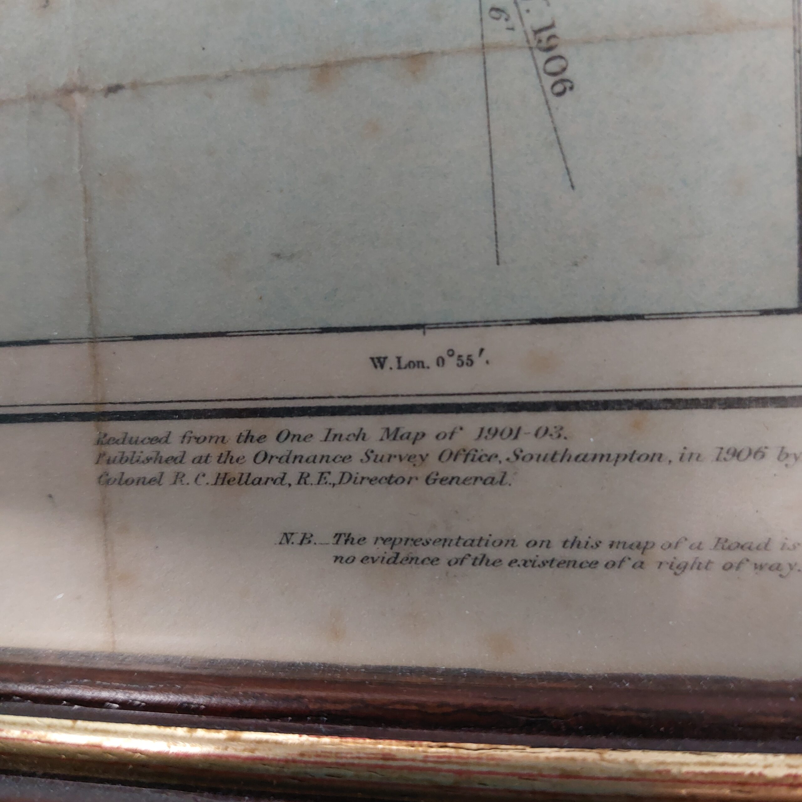
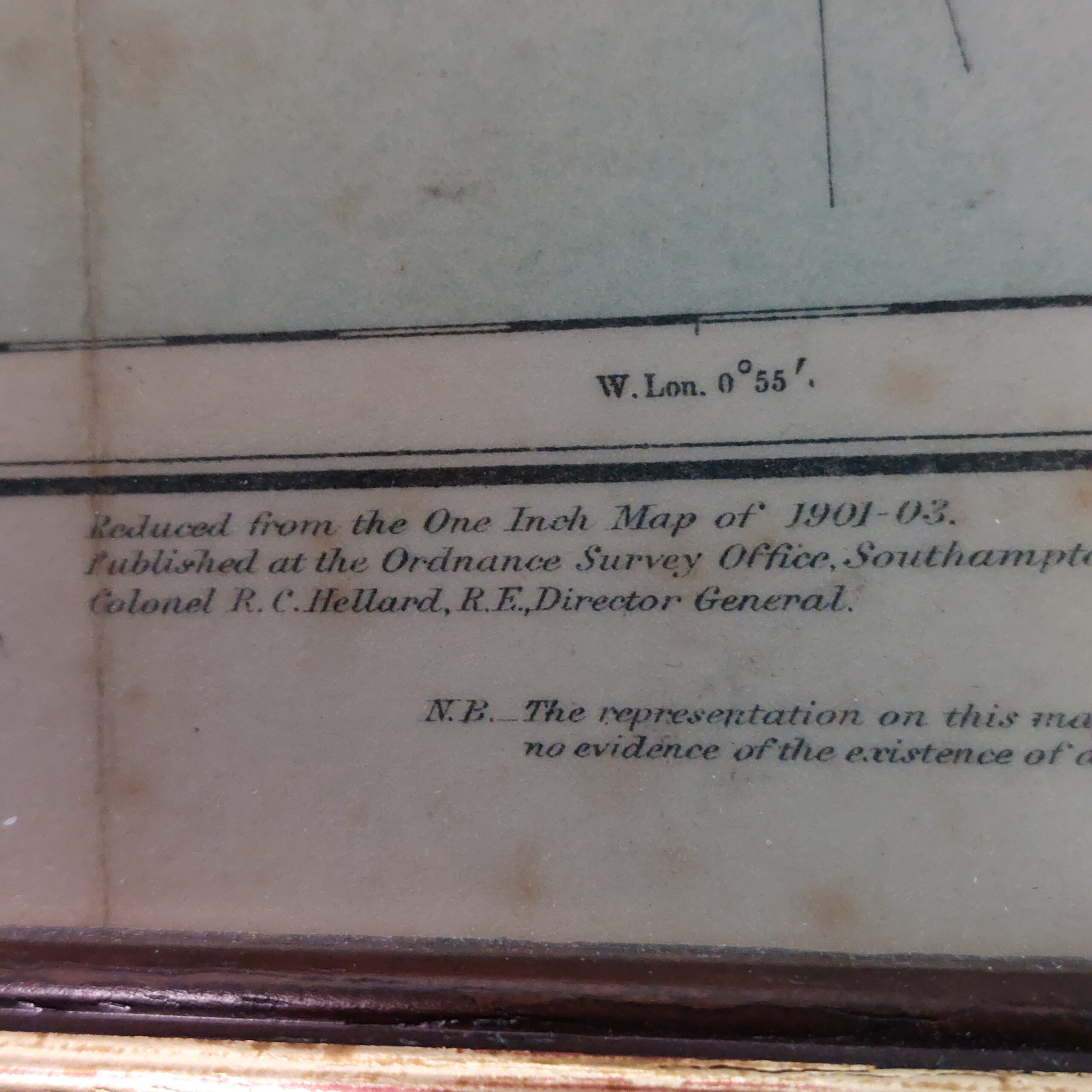
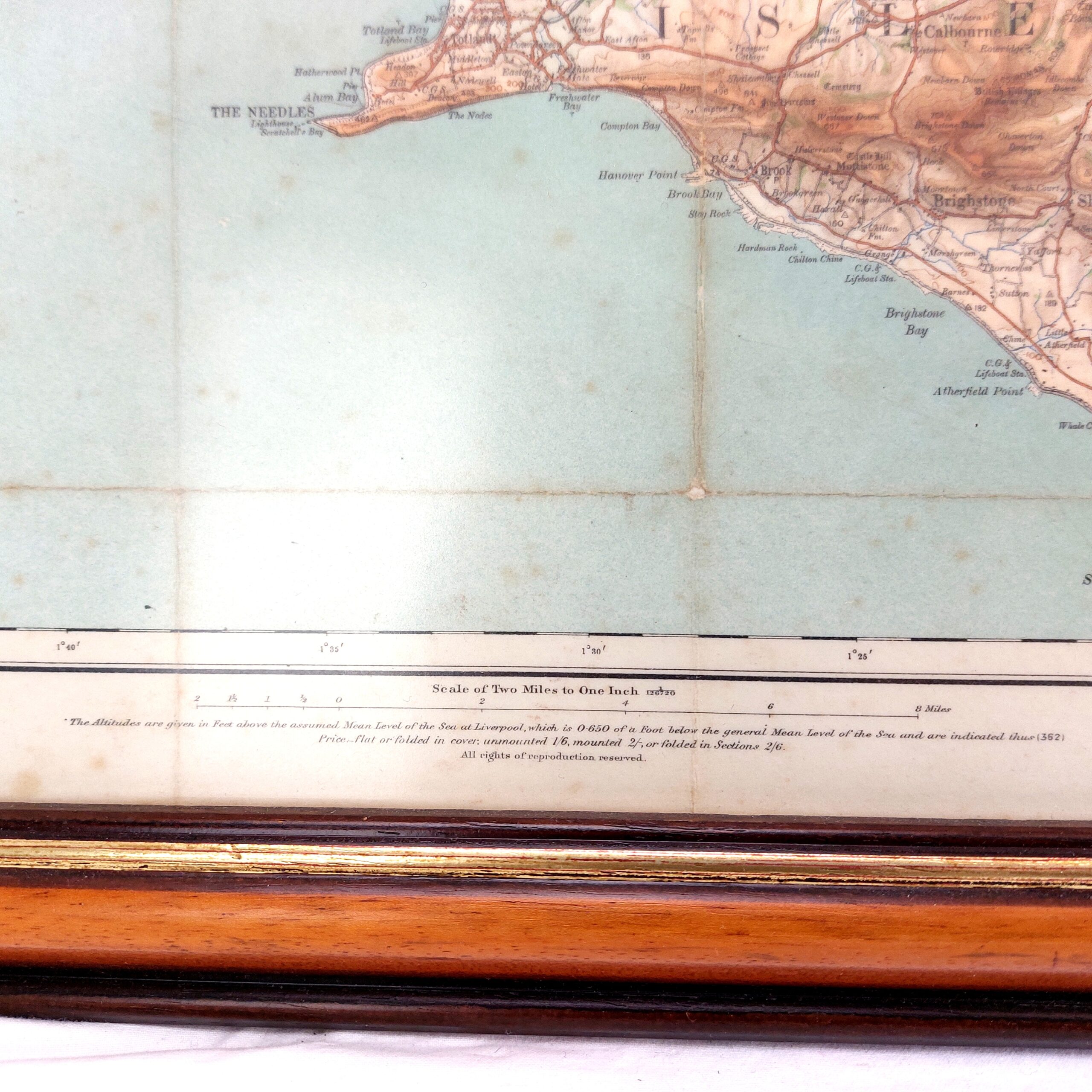
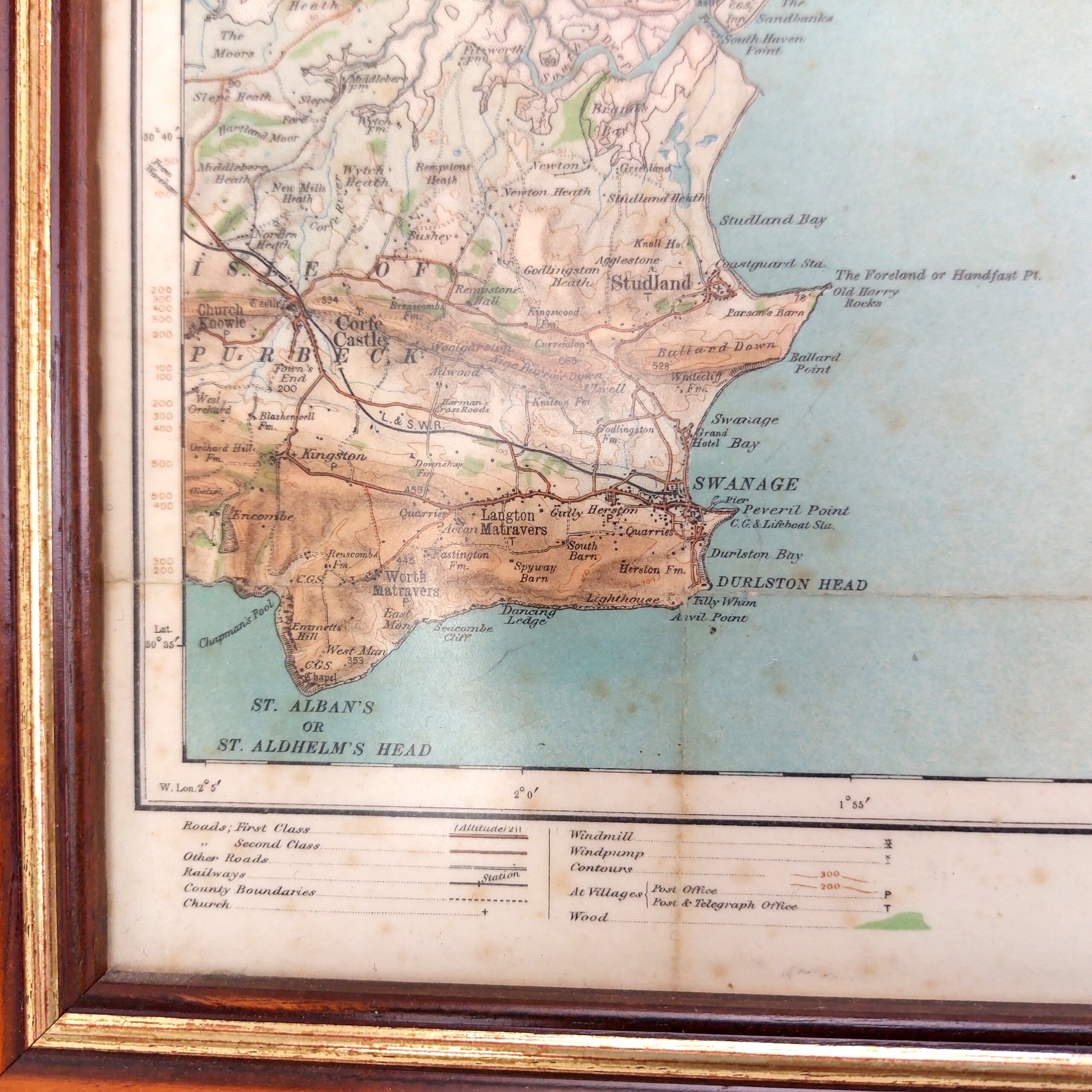
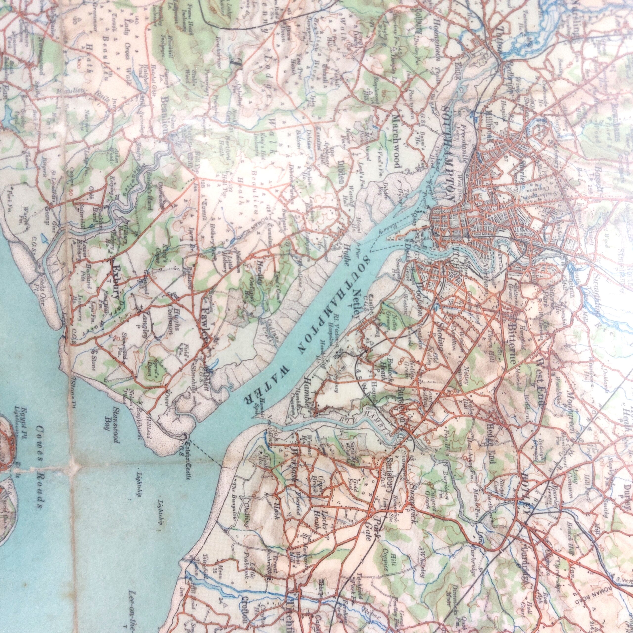
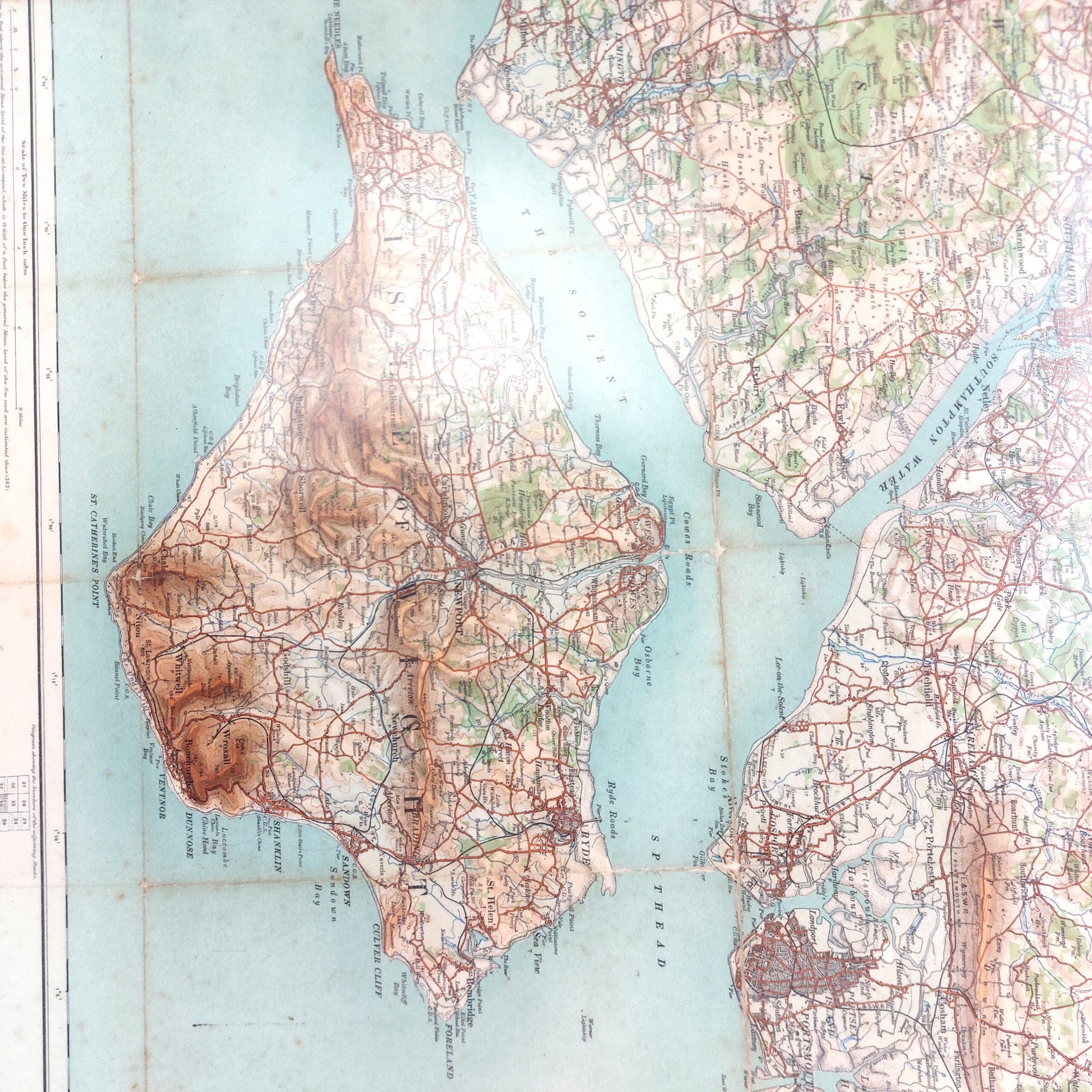
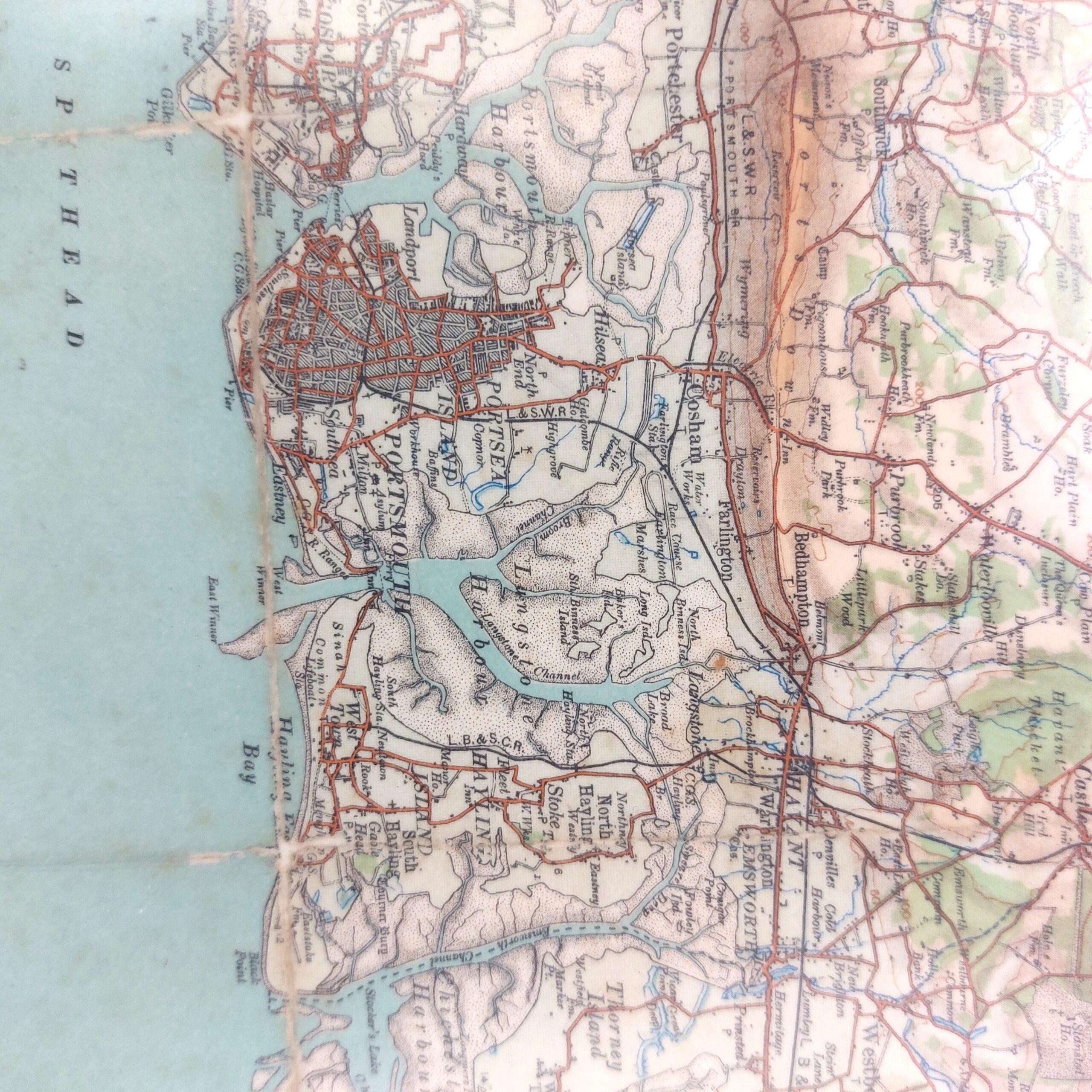
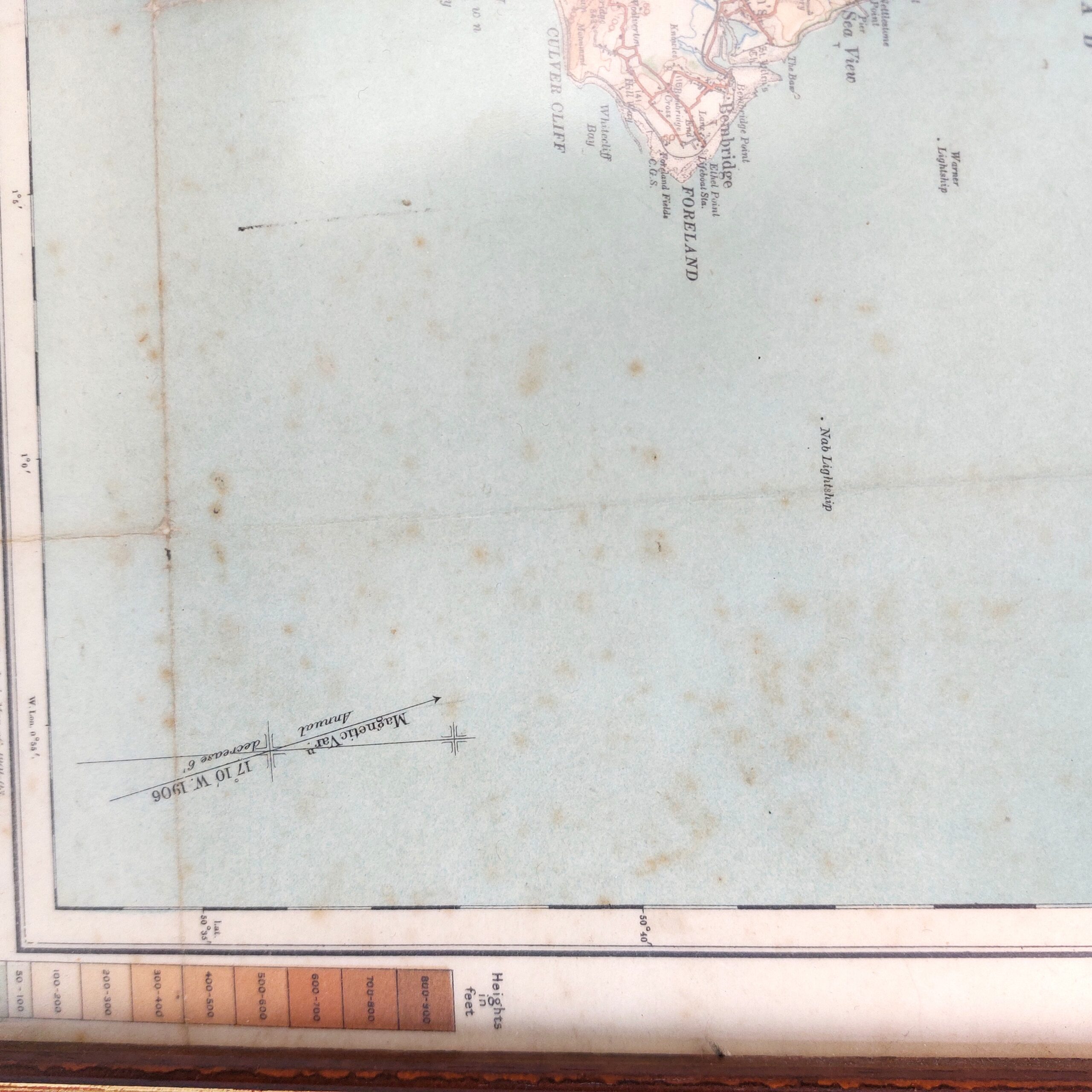
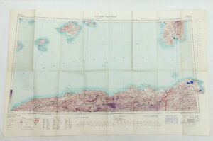
Framed Map of Southampton, Portsmouth & Isle of Wight, Two Miles to One Inch, Sheet 38, 1906
£125.00
Availability: 1 in stock
Would you like to find out more about this product?
Enquire about this product
Sheet 38 - Southampton, Portsmouth & Isle of Wight
*Condition*
Only logged in customers who have purchased this product may leave a review.
Download QRPrint QR

Reviews
There are no reviews yet.