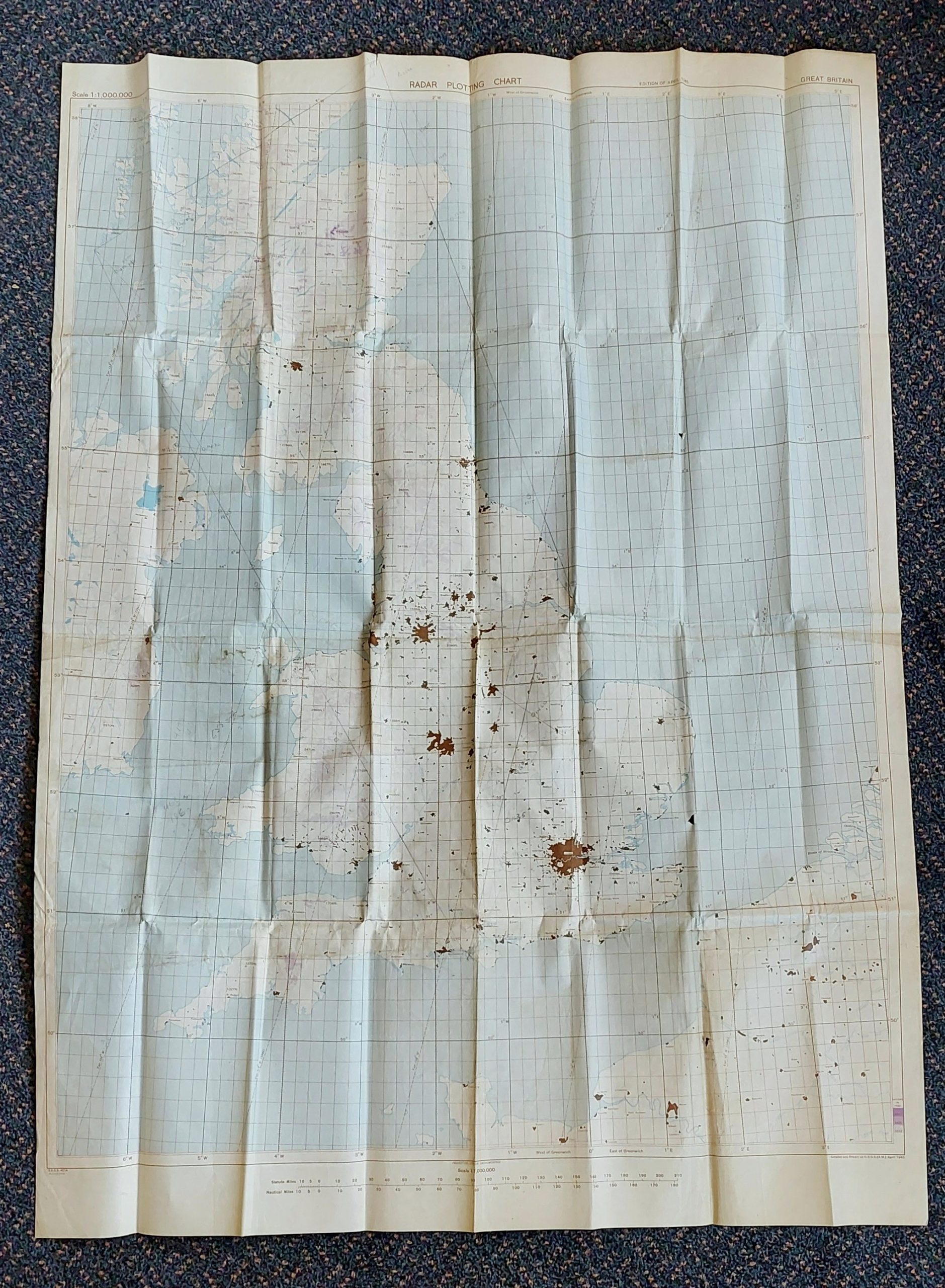
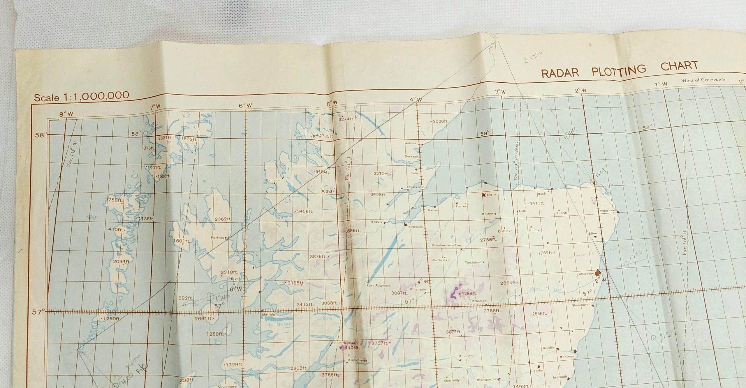
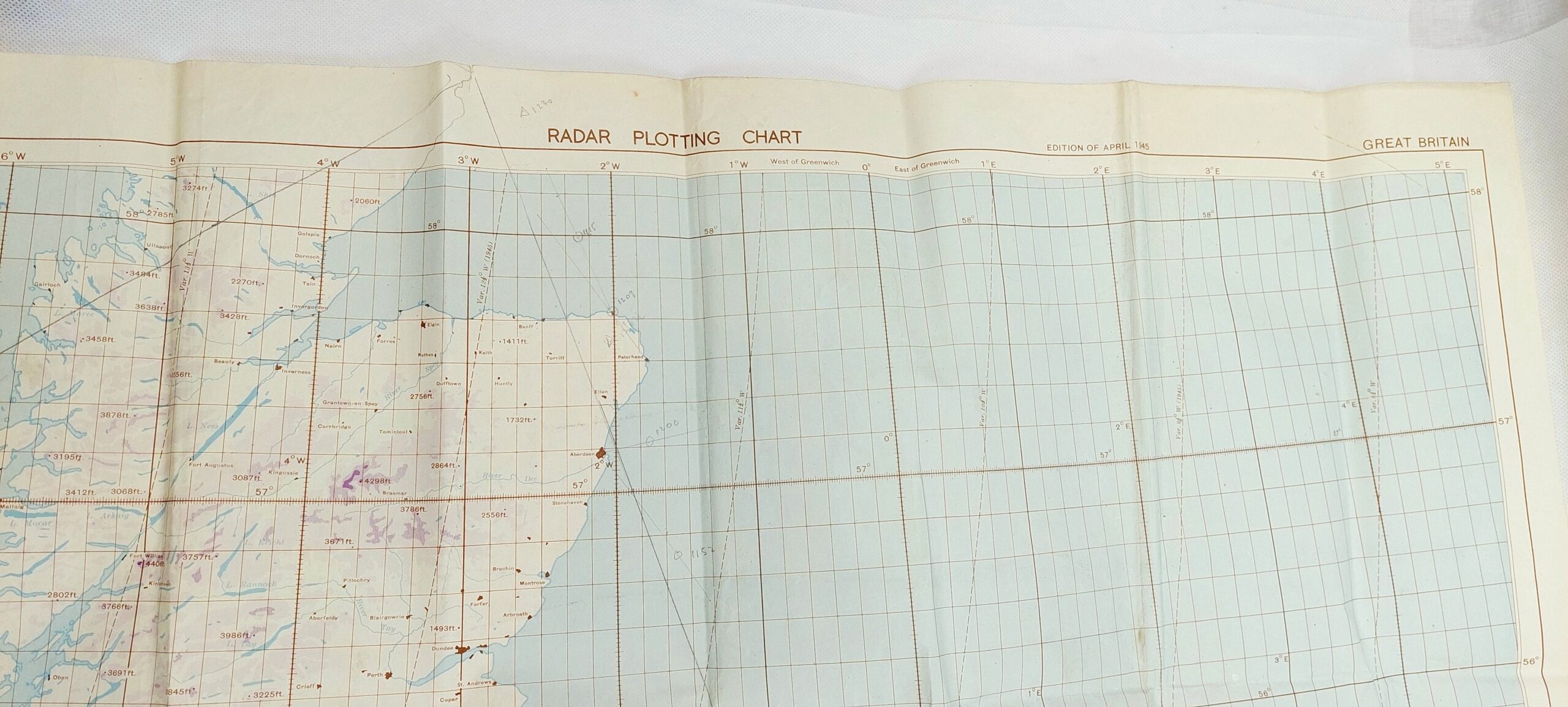
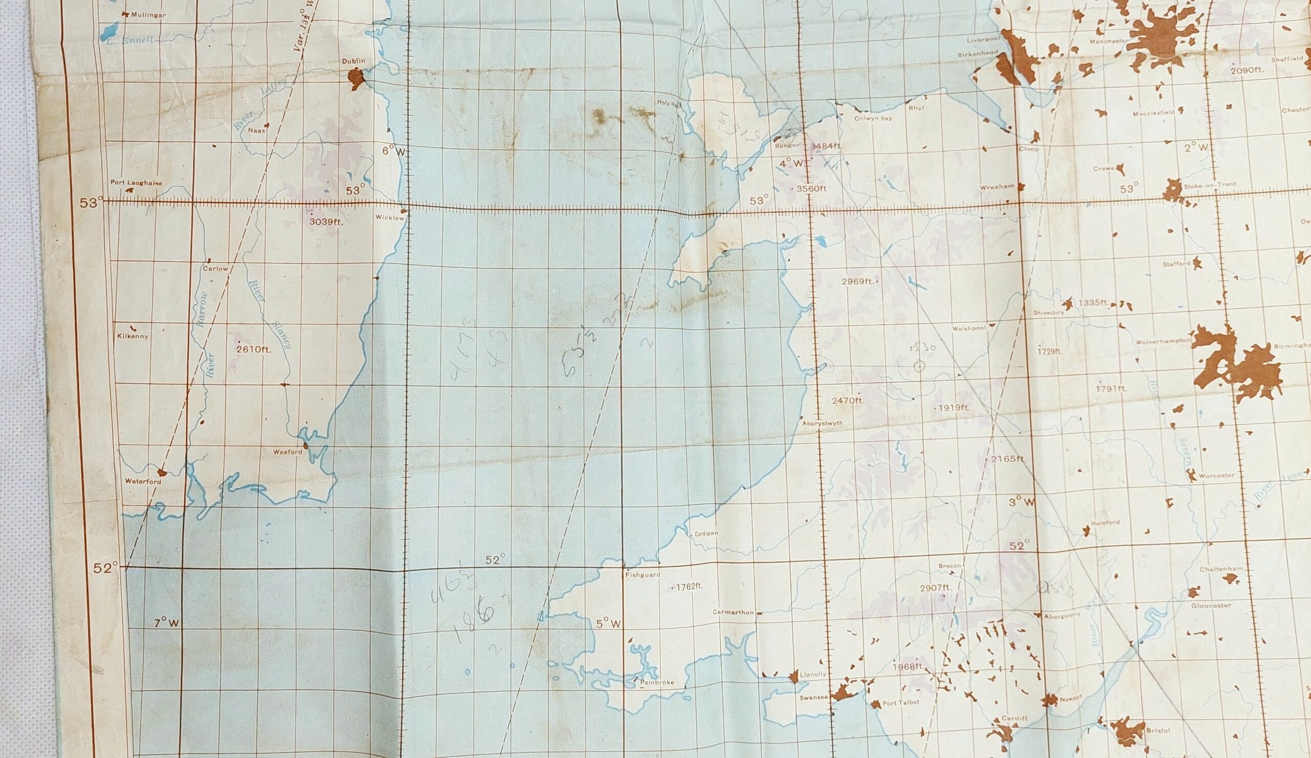
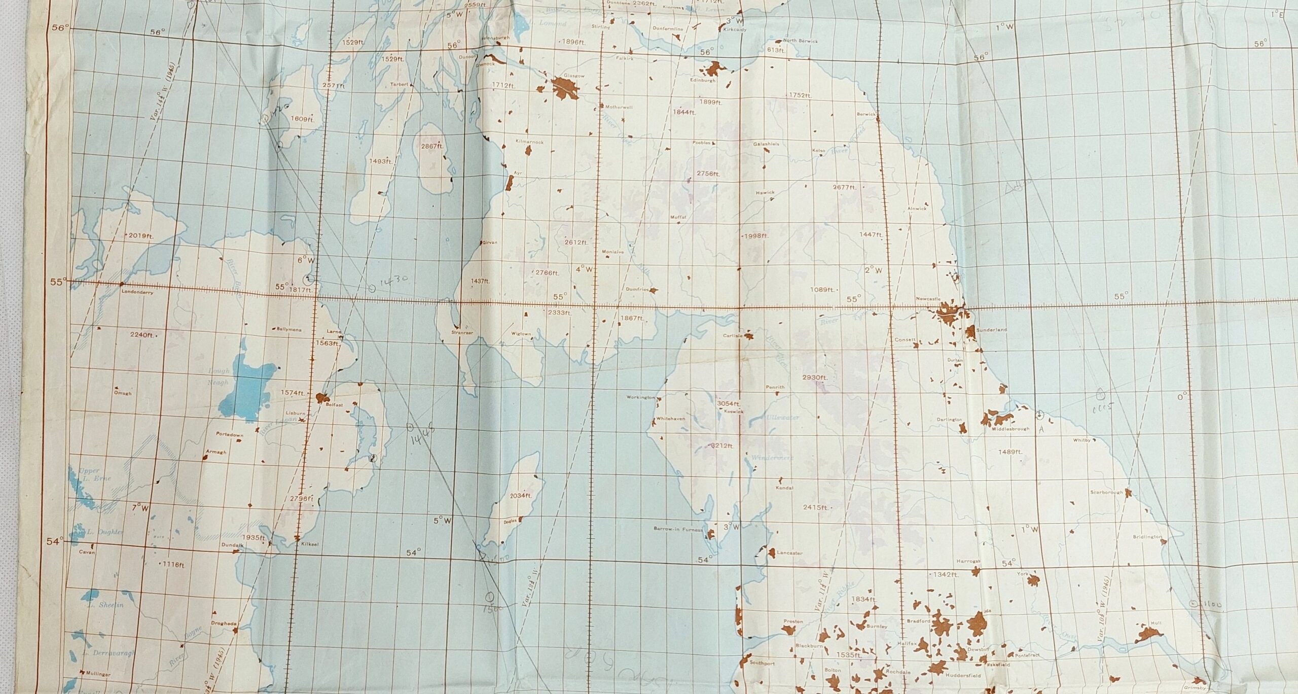
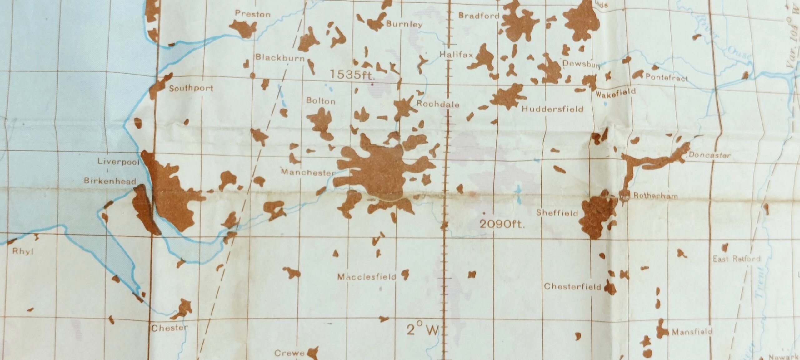
~ Original WW2 Air Ministry Radar Plotting Map of Great Britain c1945 ~
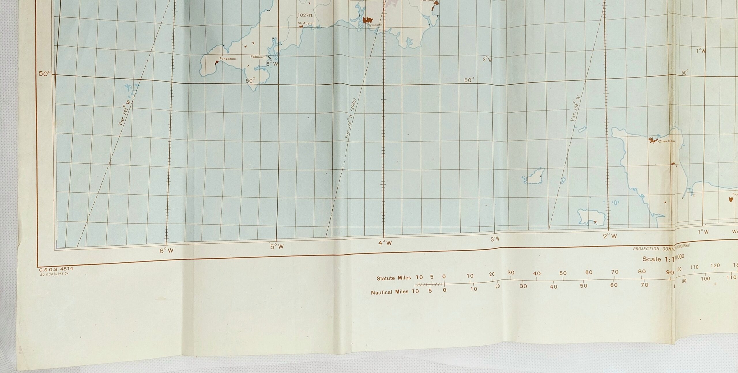
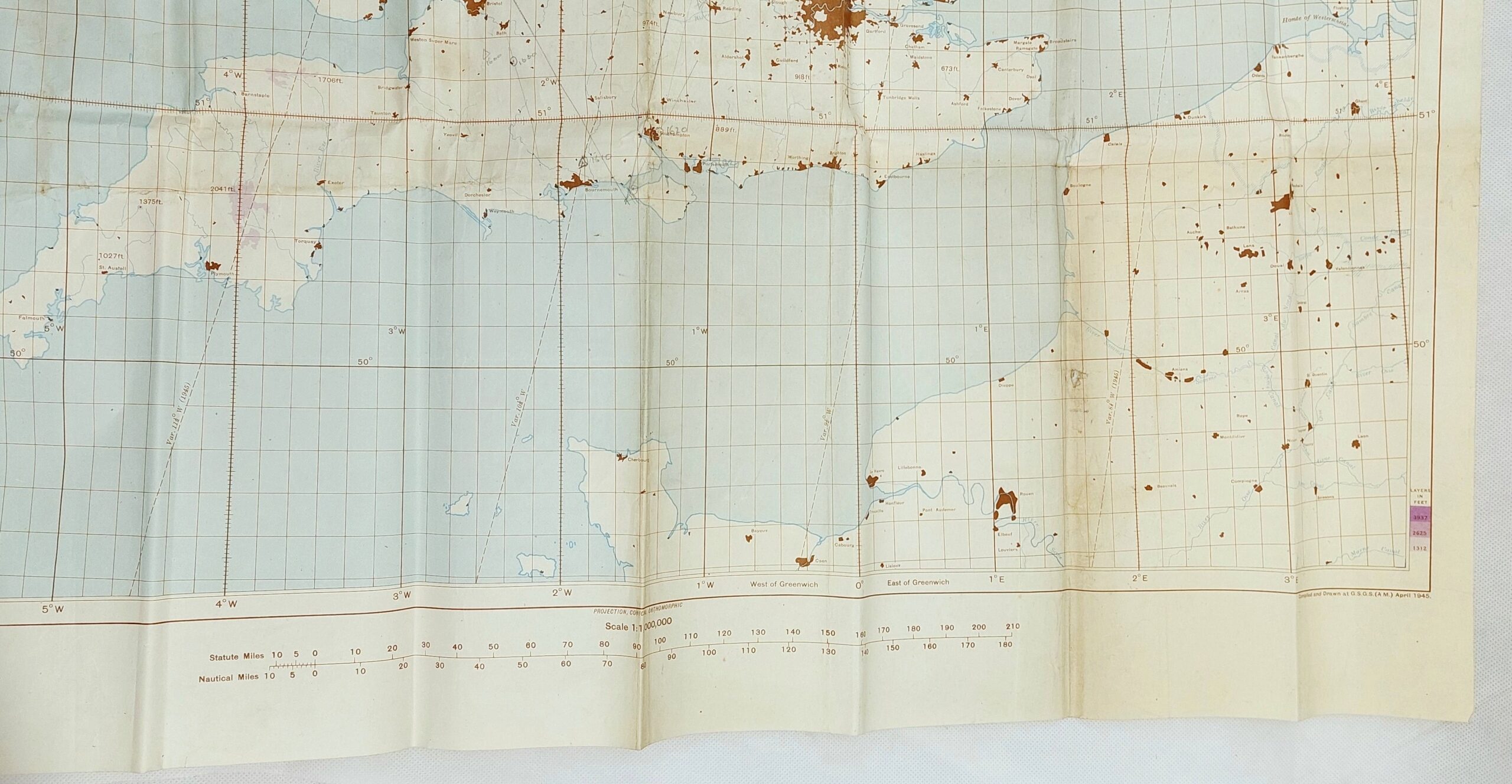
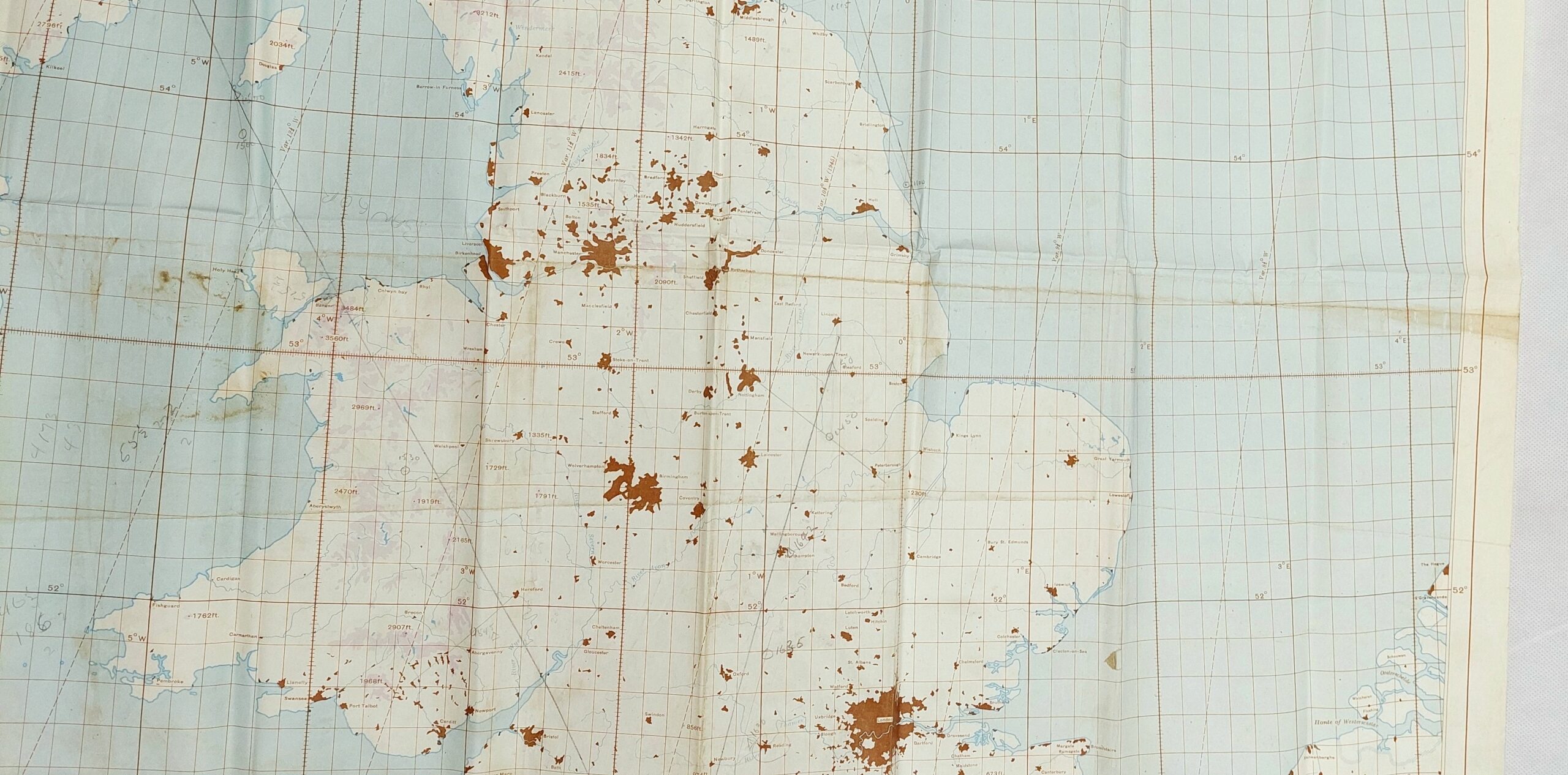
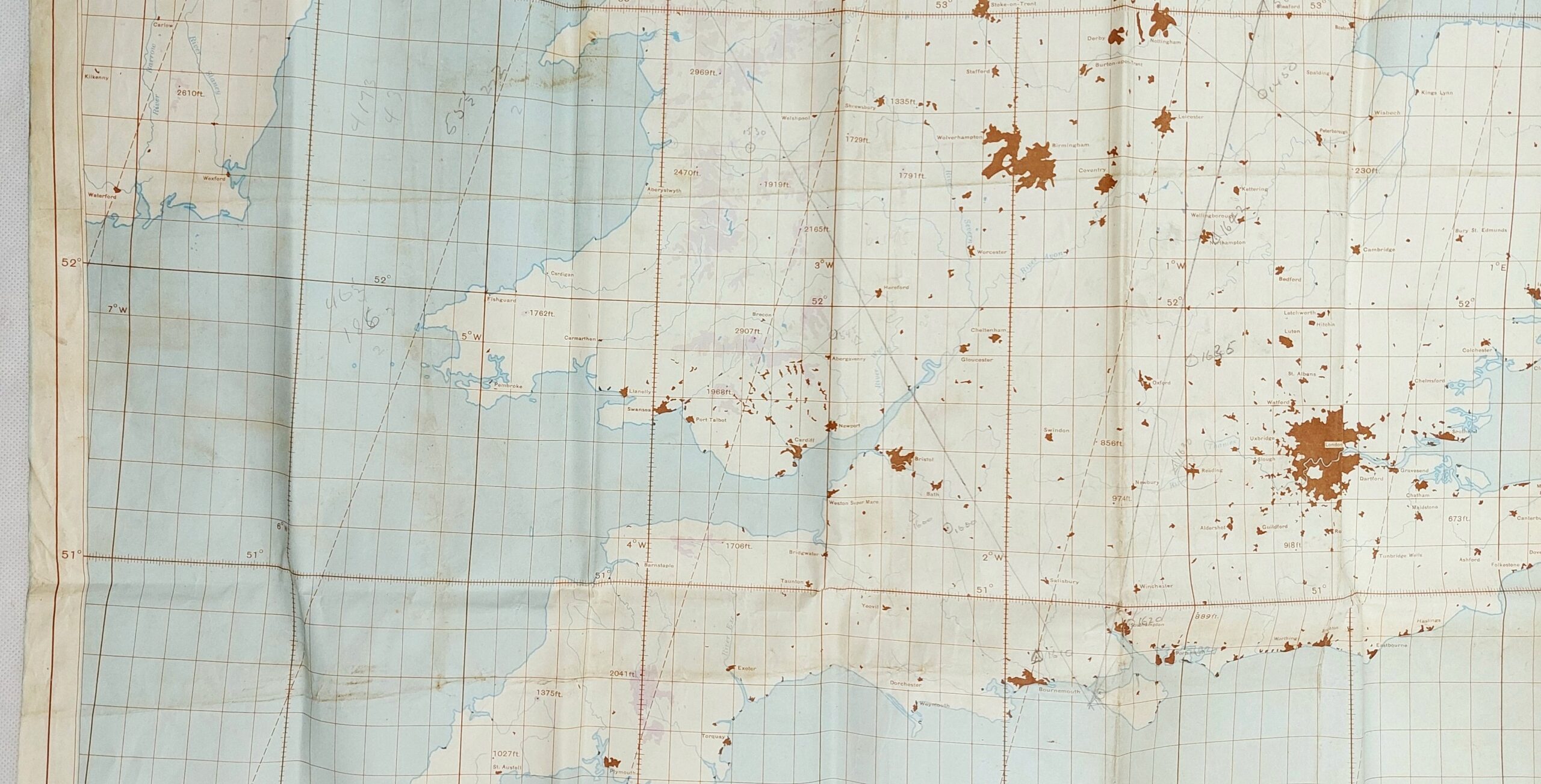
An original Second World War Air Ministry 1:1,000,000 scale Radar Plotting Map of Great Britain.
Printed on paper in full colour.
~ Dimensions ~
The map measures 84cm (33 inches) x 112cm (44 inches).
~ Condition ~
The map has some pencil marks and a tiny hole.
There is some discolouration and wear commensurate with age.
Reviews
There are no reviews yet.